


29
November


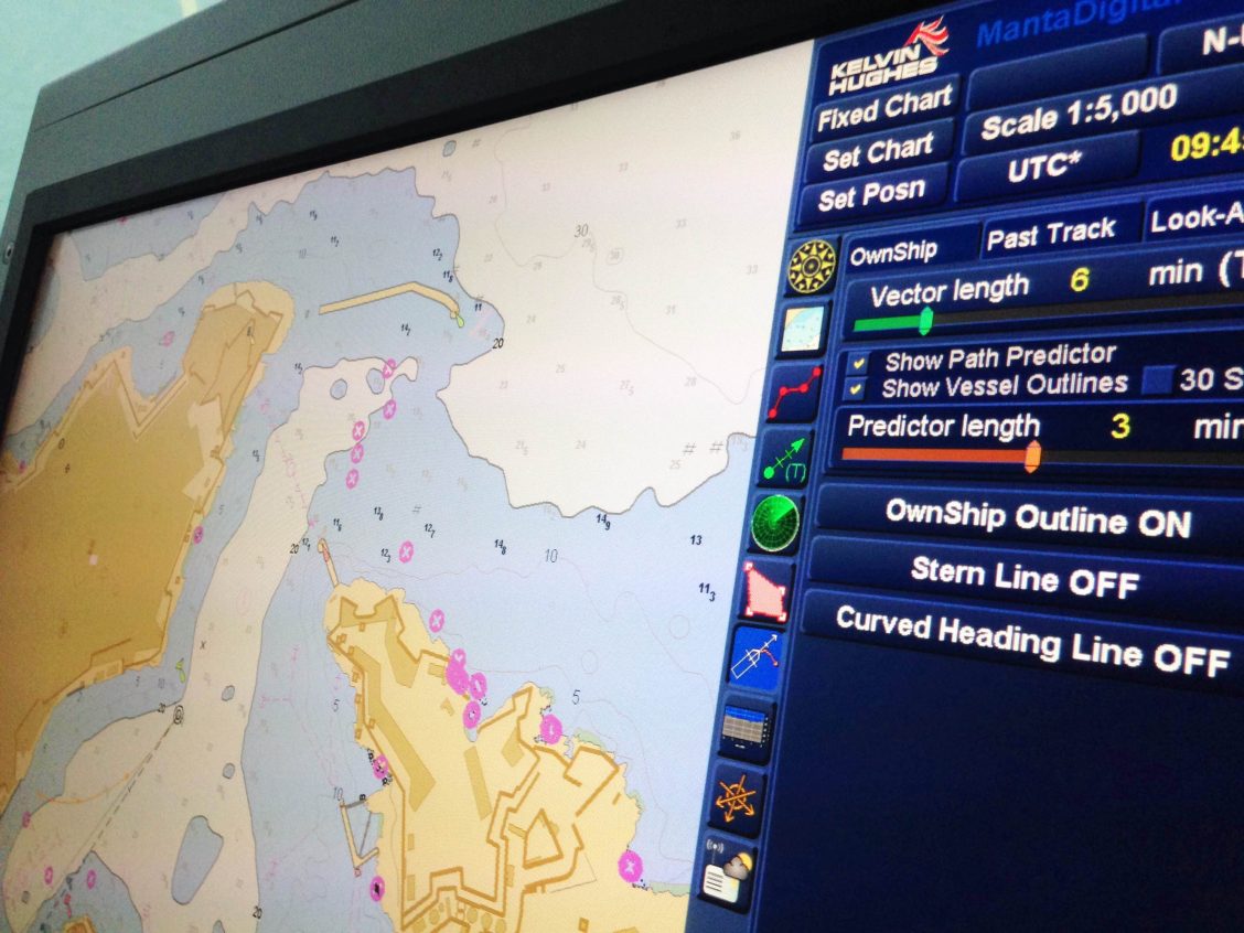
ECDIS – Electronic Chart Display & Information System – based on the use and display of digital cartographic and navigation and hydrographic information in the form of electronic maps. They are promising integrated information systems designed to solve a complex of navigation problems, automate the navigator’s work and improve navigation navigation safety.
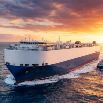
Dear seafarers, we are excited to introduce new opportunities for your career! Vessel Type: PCTC CEU: 7000 – 11000 A top global shipowner and operator managing one of the most advanced and extensive fleets in the industry is strategically expanding its presence in the PCTC segment With a reputation built on operational excellence and uncompromising safety standards […]
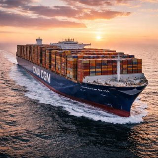
One of the newest vessels in the global merchant fleet – CMA CGM Notre Dame Delivered as part of the latest generation of ultra-large container ships, it represents the next step in maritime innovation – combining massive capacity with improved efficiency and sustainability. New generation. New standards. The future of shipping is being built right […]
For 13 years, the total tonnage of ships has doubled and this is not the limit. In 2006, the global merchant navy reached a billion dwt. To date, the deadweight of the world merchant fleet has passed the mark of two billion. And by 2033, three billion are predicted, but if the growth rate is […]
Спікери Ukrainian Transport Forum 2025 поділилися думками про те, що морська галузь в Україні втрачає конкурентоздатність, а приватні компанії змушені шукати розв’язання системних проблем самотужки. Проблеми галузі обговорили під час Ukrainian Transport Forum 2025, що проходив в Одесі в рамках колаборації АМЕУ, ЄБА та проєкту Maritime Days in Odesa. Зокрема учасники головного транспортного заходу року […]
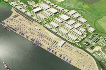
The global port construction market is recovering from the recession, many projects are under development and implementation. As in many other industries, the global recession had a negative impact on the seaport construction market, the construction of new ports and terminals and the reconstruction of old ones were delayed or even canceled due to a […]
Sorry, this entry is only available in Ukrainian.

Dear Seafarers! We sincerely congratulate you on the upcoming Christmas and New Year! May your homes be warm and cozy, and your hearts be filled with joy and inspiration. We are grateful for your professionalism, dedication and trust in our company. We wish that the New Year 2025 will bring you new achievements, good health […]
The crew of the average merchant vessel of the year in commercial production in 1860 is about 250 people. In 1880 there were about 140 people. By 1900, when steamships forced out the sailboats, it finally fell to 100 people. The crew of the diesel commercial vessel in the middle of the 20th century is […]

Dear seafarers❗️ A petition appeared regarding the possibility of obtaining a seafarer’s passport abroad. The petition was filed by the USU organization today. Lin for signatures: https://petition.kmu.gov.ua/petitions/6082